Why Is It Called the Pinnacles Desert?
What the Pinnacles Desert is: limestone pillars from sea shells, a calcrete cap, roots and wind, in a park that gets 540 mm of rain a year. From the park's own guide.
The name fits what you see, not the climate: a stretch of bare yellow sand with thousands of limestone pillars standing in it. The park around it gets about 540 mm of rain a year, most of it between May and September, and much of it is heath, banksia woodland, beaches and coastal dunes (Parks and Wildlife Service).
What the pillars are made of
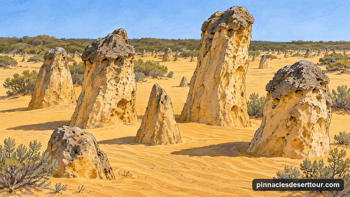
The Parks and Wildlife Service’s visitor guide tells the story in four steps, and calls it the most accepted of a few theories.
- Sea shells broke down into lime-rich sand, which the wind carried inland into high, moving dunes. Winter rain leached lime out of the sand and cemented the lower layers into a soft limestone.
- Plants grew and held the dunes in place, and an acidic layer of soil and humus formed on top. That sped up the leaching, and a hard layer of calcrete formed above the softer limestone.
- Cracks opened in the calcrete and plant roots followed them down. Water ran down the same channels and dissolved the soft limestone beneath, and quartz sand filled the gaps.
- When the plants died back, the wind blew the covering sand away and the pillars that had survived appeared.
The calcrete is still there: you can see it as a distinct cap on many pillars, protecting the softer stone below. The pillars rise up to about 4 m out of the sand, in the guide’s figure. Some are jagged columns; others look more like tombstones.
Why the sand changes colour
The guide describes three old dune systems running parallel to the coast from Cervantes south to Busselton, each further inland and older than the last. Nearest the sea are the white, lime-rich sands of the Quindalup dunes. Behind them lie the Spearwood dunes, yellow and brownish quartz sand over limestone, and the pinnacles are what is left of a thick bed of limestone under those sands. Furthest east are the silica-rich Bassendean sands under low, open banksia woodland.
So a desert tour crosses two colours of sand in one day: white dunes near Lancelin, yellow sand among the pillars. For the dune stop, see the Lancelin dunes.
How much of the park is desert
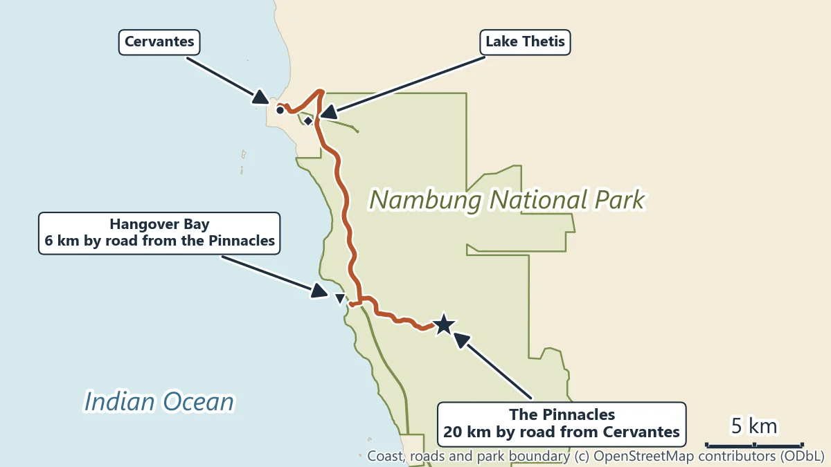
Less than the name suggests. Nambung National Park covers 19,268 hectares, and the guide is clear that the pinnacles are only one part of it: there are beaches, coastal dune systems and the low heaths of acacia and myrtle typical of this coast, with banksias and casuarinas. From August to October the heath flowers. Near Cervantes, Lake Thetis is one of the few places in the world with living marine stromatolites, and on the coast Hangover Bay, 6 km by road from the Pinnacles, has a wide sandy beach.
Yued people are the Traditional Owners of Nambung National Park.
Seeing it for yourself
The pillars are fragile and can fall: the Parks and Wildlife Service asks visitors not to climb, sit or stand on them and to stay clear of them. The park’s loop track through the pillars is a one-way unsealed road of about 4 km, and the Pinnacles Desert Discovery has an interpretive centre on how they formed.
Several tours stop at the Discovery as part of the day, among them take you there tours' small-group 4WD day, which also visits Lake Thetis. Animals and wildflowers covers what lives among the pillars.
More from Perth
Pinnacles and Coast Tours with Open Dates
Desert tours, dune days and other trips north of Perth with live availability. Where each starts, what it includes and the cancellation terms are shown before you book.
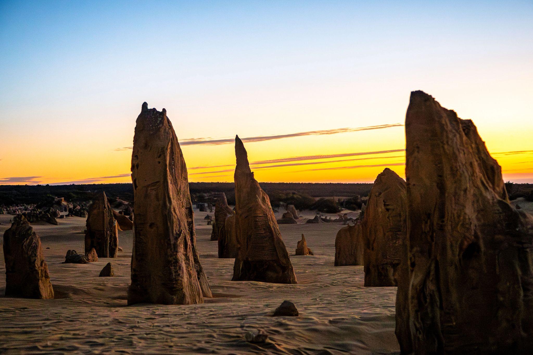
Dunes, Desert and a Sunset BBQ
Lumineer Adventure Tours' 9.5-hour day from Perth CBD hotels: sandboarding at Lancelin, the Pinnacles Desert, a cooked BBQ dinner with a glass of wine, telescopes for the stars, and national park entry fees in the price.
See dates